Descending down the valley of the Rio Puerco River into Albuquerque as sunset approached, the light was PERFECT! Plus the iPhone has a better camera. Makes the high desert look like cake icing.
 Salado Creek, not far from Cuervo Crossing. Laguna Indian Reservation (Bernabe M. Montaño Grant).
 Cañada de los Cañoncitos.
 Cañada de los Cañoncitos.
 Approaching the Rio Puerco along the Cañada de los Cañoncitos.
 Cañada de los Cañoncitos.
 Cañada de los Cañoncitos. Note the earthen dams.
 Entering the Rio Puerco River Valley.
 Rio Puerco River Valley.
 Rio Puerco River.
 Rio Puerco River.
 West Mesa edge between the Rio Puerco and the Rio Grande. Note the white caliche cap.
 West Mesa edge between the Rio Puerco and the Rio Grande. Note the white caliche cap.
 West Mesa edge between the Rio Puerco and the Rio Grande. Note the white caliche cap.
 Just north of Interstate 40 at Paseo de Volcan (Atrisco Vista Blvd.)
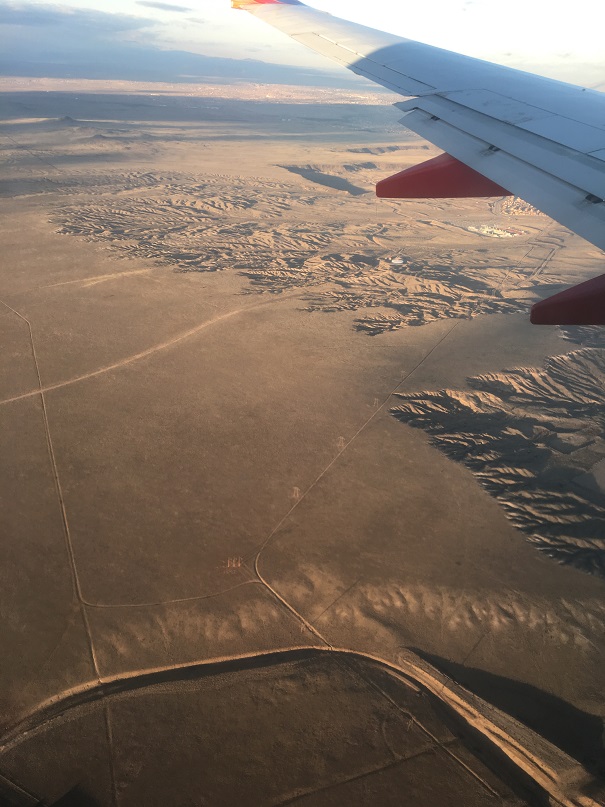 West Mesa just west of Albuquerque.
 Interstate 40 near Paseo de Volcan. (Atrisco Vista Blvd.)
 Edge of the big housing development in southwest Albuquerque.
 South Coors Blvd. WalMart.
 The Rio Grande River south of downtown Albuquerque.
 Along the railroad.
 Sunport Blvd. and Interstate 25.
 Sunport Blvd.
 Landing at the Albuquerque Sunport.
No comments:
Post a Comment